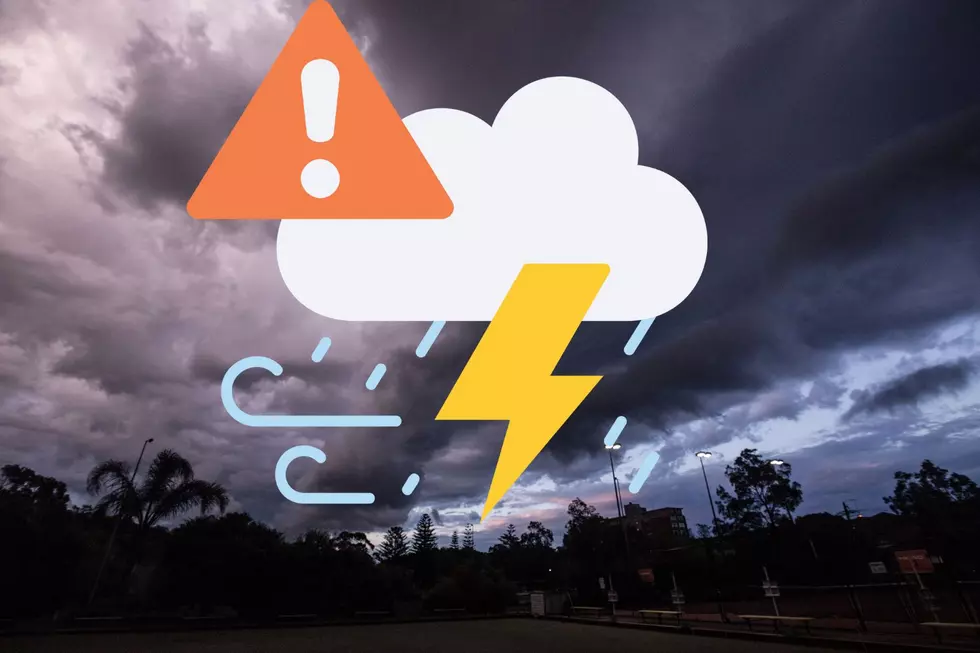
Bring In The Lawn Furniture: Severe Storms High Winds Tonight
Most of West Central Missouri finds itself at an enhanced risk of severe thunderstorms with damaging straight line winds tonight, but the big weather story isn't that far away from us in Kansas and Oklahoma.
What you need to know about tonight's weather in West Central Missouri
West Central Missouri can expect a line of severe thunderstorms. These storms will move west to east across the area from about 8:00 PM CDT - 4:00 AM CDT. Brief tornadoes are possible, but the more significant threat is damaging straight line winds about 75 - 80 miles per hour, this according to the National Weather Service Kansas City office.
This is a good night to have your cell phone, tablet, and or lap top charged up and ready to go. The National Weather Service reminds residents that nighttime storms like this are dangerous, and that folks should have multiple ways to receive warnings. Like, television and radio, weather radio, phone apps, wireless emergency alerts, etc. Above all, do not rely on outdoor sirens to wake you up.
Here is how the National Weather Service out of Kansas City expects the storms to evolve and the timing impacts for West Central Missouri tonight:
While an enhanced risk for storms is forecast for most of West Central Missouri tonight, it isn't unheard of. The National Weather Service's Moderate and High-Risk categories are not used as much, with the High-Risk category rarely used. However, those two categories are being used today, to the west of Kansas City.
Severe Storms West of Kansas City in Kansas and Oklahoma
After lunch today, the National Weather Service out of Dodge City, Kansas indicated that scattered thunderstorms were starting to develop and they are expected to strengthen as they move east.
The National Weather Service in Dodge City, Kansas is reporting an outbreak of tornadoes and severe thunderstorms is expected over the central and sunthern Plains, including much of Oklahoma and central and eastern Kansas this afternoon and tonight. Hazards with these storms include numerous tornadoes (EF2+), large hail some up to baseball size and scattered damaging winds. They warn the risk of tornadoes increases after dark.
If you look closely at the map you can see the enhanced risk of severe weather is not that far off from Kansas City.
The Wichita, Kansas area finds itself at an enhanced risk for severe storms, right outside of the area that is expected to be dealing with a high risk for severe storms. This area of Kansas may experience softball size hail, 80 mile per hour winds, and it's also the area that has the greatest potential for strong & long track torndoes.
The forecast for Topeka is fairly similiar to that of West Central Missouri and the Kansas City area, hail, damaging straight line winds, potential flooding and a risk of tornadoes. The National Weather Service in Topeka is predicting storms to hit that area between 8:00 PM CDT - 9:00 PM CDT tonight.
Severe storms are expected to move in to the Lawton and Enid Oklahoma areas from about 3:00 PM -7:00 PM, then Oklahoma City during that time frame moving East-North East.
Much of Oklahoma including Stillwater, Enid, and Oklahoma City find themselves at a High risk for severe weather today. Strong, long-track tornadoes are possible with any storm in the risk area, softball size hail, and 80+ mile per hour straight line winds are possible with these storms.

The Tulsa area, while not in the High Risk area for storms, finds itself in the Moderate Risk area for storns which are expected to impact the area from this evening through the overnight hours. There is a significant potential for tornadoes, baseball/softball size hairl, and straight line winds 70 to 80 miles per hour.
Takeaways
- If you don't need to travel west into Kansas or Oklahoma today, don't. If you're heading to Kansas City, I'd try to get to your destination there by 8:00 PM CDT if possible.
- The impacts in West Central Missouri will definitely be felt later in the evening and throughout the overnight hours. The storms should largely clear our area by 4:00 AM CDT.
- The worst weather seems to be predicted in and around Oklahoma City, Oklahoma. However, that doesn't mean any other area is not at risk for any of the above mentioned threats:large hail, straight line winds 70+ miles per hour, tornadoes.
- Tonight is definitely a good night to have multiple ways of accessing weather information. This includes TV, radio, weather apps, emergency allerts, etc. Do not rely on outdoor sirens to take you up.
- Continue to read on to learn about how you can prepare for power outages, and what to do after a tornado strikes.
TIPS: Here's how you can prepare for power outages
KEEP READING: What to do after a tornado strikes
More From AM 1050 KSIS