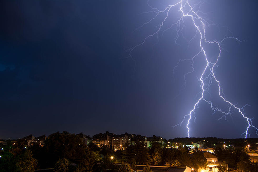
There's good news and bad news about what many forecasters consider to be a dangerous storm system that will impact Missouri early next week. It is expected to crash Missouri temperatures and cause them to freefall more than 50 degrees in just hours, but that drop won't last long.
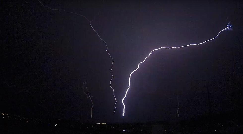
I will admit that I don't know much about lightning other than I'd prefer to not get struck by any. But, even I know when a video about lightning is captivating and that's definitely the case for upward lightning that was recently captured as it climbed into the sky over St. Louis, Missouri.
If you live in Illinois or Missouri long enough, you will see a tornado eventually. That being said I highly doubt you've seen a twister that seemed to give birth to a rainbow like one did in Illinois this week.
Even though some damage and some areas were flooded in Pettis and Johnson counties due to storms and rainfall in the second half of June up to July 1, the two counties are not included in a request for federal assistance.
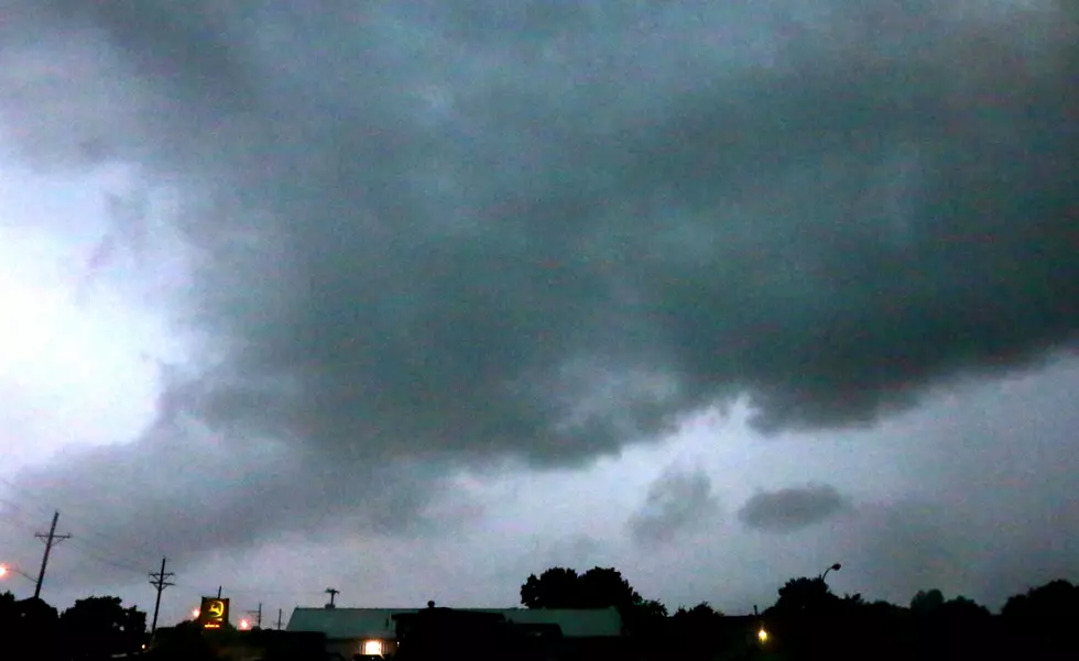
The National Weather Service out of Kansas City says besides the storms this morning, we could see another round of storms this afternoon, Saturday June 15.
Keep an eye to the sky while enjoying the great outdoors this afternoon. Most of the area has a slight chance for storms this afternoon between 3PM - 10PM CST.