It’ll Be Cold for the New Year, but Will We See Snow in Sedalia?
This article was started as a look at how difficult predicting this storm was going to be for meteorologists and forecasters. Especially the snow part. As we've learned more about how the forecast is shaping up we're adding information to this post so the latest information is available to you. You can scroll down to read the original post and click links to get the latest forecast for your town from Weatherology.
1:15 PM Update New Year's Day January 1, 2022
Happy new year! I took the morning to chill out and enjoy some coffee, breakfast, and television. So a lazy start to the new year. Looking outside my door, we certainly don't seem to be getting a lot of snow. Although there has been some ice. JJ the Chill Hound had a difficult time staying on all four paws during our morning walk, especially on grass. And it's definitely cold. There's definitely going to be some scraping of windshields if you're planning on heading out today or tomorrow.
The Winter Weather Advisory remains, and has been joined by a Wind Chill Advisory that starts at midnight. I suspect the Winter Weather Advisory remains mainly to warn folks of difficult travel vs. us actually getting socked with much more weather. And most of the flights in and out of Columbia Regional Airport were canceled earlier today. At KCI, it's been a mixed bag of canceled, delayed, and on-time arrivals and departures. Click the links for the status of arrivals and departures.
Taking a look at the roads, MoDot's Traveler Information Map shows Highway 50 as snow-covered from Lee's Summit through Smithton. Highway 50 clears just past Smithton. Highway 65 is snow-covered from Marshall through Windsor Junction. And Interstate 70 is snow-covered out of Kansas City through Lafayette, partially snow-covered through the Rocheport Bridge, and clear to the Illinois State Line. You can check out current road conditions here.
The forecast from Weatherology is still calling for precipitation with a high around 32. Tonight's low will be three above with a chance of snow. And tomorrow expect clearing skies and a high of 15.
The National Weather Service in Kansas City measured point one inch of freezing drizzle, sleet, and snow at their office in Pleasant Hill and also said the storm track shifted northward which cut into snow amounts along and South of the Missouri River.
The Winter Weather Advisory continues until midnight tonight with the advisory calling for the potential of one to three more inches of snow. And there is a Wind Chill Advisory that goes into effect at midnight tonight. Wind chills could drop to 15 below. Impacts include slippery road conditions and the potential for hypothermia if precautions are not taken.
10:00 PM Update December 31, 2021
Predicted snow totals continue to fluctuate somewhat from the National Weather Service as the storm continues to take shape and moves closer to the area. The National Weather Service in Kansas City now says Kansas City could get between two and five inches of snow. Butler is expecting between a trace to one inch of snow. Sedalia and Columbia can expect one to two inches of snow. And Jefferson City may receive anywhere from no snow to an inch.
While our forecast from Weatherology doesn't detail snow amounts or timing, the National Weather Service forecast for Sedalia does. According to the National Weather Service, we can expect drizzle overnight between 2:00 AM - 4:00 AM CST, then freezing drizzle.
For New Year's Day areas of fog are possible between 9:00 AM - 3:00 PM CST. Freezing rain and sleet is possible before 3:00 PM CST. Snow and freezing rain, possibly mixed with sleet between 3:00 PM - 4:00 PM CST. Then snow likely, possibly mixed with freezing rain after 4:00 PM CST. Snow and sleet accumulation of a half-inch or less is expected. Ice accumulation is also possible.
New Year's Night includes a continued chance of snow before midnight, and a low around three above. Sunday's high will be 17.
KMBC TV's forecast at this point suggests we'll wake up to freezing rain and sleet, and that the area will see snow from about 12:00 PM to 5:30 PM CST with an accumulation in Warrensburg and Sedalia of about an inch and a half.
ABC 17 out of Columbia's forecast is calling for anywhere from less than an inch through two inches of snow in Sedalia and Warrensburg. And a dusting to one inch of snow for the Jefferson City and Columbia areas.
10:00 AM Update December 31, 2021
In my opinion, what we have set up for the weekend, seems to be a typical West Central Missouri winter storm. We're going to get some sleet, freezing rain, and a little bit of snow. All of which will make travel Saturday somewhat difficult. Additionally, we're going to experience a cold blast, which will make being out in any of this uncomfortable.
I think today's the day to get out and do any outdoor activities, run any errands, or do a store trip. JJ and I had a nice walk this morning. And later I'll be heading into Lee's Summit to pick up an early New Year's Eve feast. Enjoy the day, and stay safe if you're ringing in the New Year out and about tonight. Here's what the forecasters are expecting for tonight:
The National Weather Service has issued a Winter Weather Advisory for most of West Central Missouri. The advisory goes into effect at 3:00 AM CST on January 1, 2022, and runs through Midnight.
The advisory calls for a mixed bag of precipitation along with two to four inches of snow accumulation and ice accumulations of one-tenth of an inch. The advisory says expect slippery road conditions and motorists should slow down and use caution while traveling.
Additionally, the National Weather Service in Kansas City has updated snow totals, along with some details on what to expect and the timing of it all. They say to expect a wintery mix beginning late tonight and into tomorrow morning. The highest snow amounts will happen in northern Missouri with the highest sleet accumulations along the Interstate 70 corridor. And hazardous travel conditions on Saturday.
They expect two to three inches of snow in the Kansas City and Moberly areas, one to two inches of snow in Sedalia and Butler, and less than an inch of snow in Columbia and Jeff City. Bitterly cold temperatures are expected throughout the area as well.
The forecast from Weatherology hasn't changed very much since last night, and you can access your town's current forecast by scrolling to the links at the bottom of this post.
The Missouri Department of Transportation's Traveler Information Map on current road conditions can be accessed here.
4:45 PM Update December 30, 2021
The National Weather Service in Kansas City Missouri updated some information on the potential storm on their website. They believe freezing precipitation is on track to arrive after midnight tomorrow night. And they still believe the heaviest area of snow will be north of St. Joesph to Kirksville line where anywhere from five to eight inches of snow is predicted.
The National Weather Service says the Kansas City area expects to see between two to five inches of snow, with heavier snow amounts in the northern part of the metro area.
Their Forecast snow Amounts for Saturday at this point have the two to five-inch snow prediction for Kansas City and trace amounts of snow to two inches of snow for Sedalia, Butler, and Columbia. Jeff City may see no snow or an inch of snow. Moberly could get anywhere from one to five inches of snow. And while they didn't list it, I'd expect Warrensburg and Knob Noster to fall somewhere in between the amount of snow expected in Kansas City and Sedalia.
The Weatherology forecast for Sedalia at 5:00 PM CST:
New Year's Eve - Cloudy, with a daytime high of 60.
New Year's Eve Night - Scattered rain showers possible. Love of 27
New Year's Day (Saturday) - Cloudy with mixed precipitation likely changing to all snow. Daytime highs approaching 31.
New Year's Night - Bitterly cold with a low of 4 and a chance for snow.
Sunday - Clearing skies with daytime highs approaching 19.
Sunday Night - Low of 10.
Monday - Sunny and clear with a high of 41
1:00 PM Update December 30, 2021, City of Sedalia Reminders
The City of Sedalia put out a press release earlier today reminding residents not to park along Emergency Snow Routes During snow emergencies. The City will activate the Emergency Snow Routes when the Sedalia has received over two inches of snow.
Additionally, the City asks residents in areas where the City has replaced and repaired sidewalks to NOT use salt on them. Salt can cause corrosion under the surface of the sidewalk, and sidewalks poured last summer are extremely vulnerable to corrosion this year. The City recommends residents use sand to increase traction on sidewalks when necessary.
You can read the City's press release and check out the City's snow routes here.
10:00 AM Update December 30, 2021
Overnight the National Weather Service issued a Winter Storm Watch for almost all of West Central Missouri including the cities of Sedalia, Warrensburg, Boonville, Knob Noster, Lee's Summit, Clinton, and Marshall. The Winter Storm Watch is in effect from late Friday night, December 31, 2021, through Saturday evening, January 1, 2022.
The watch calls for widespread wintery precipitation across the region with snow totals ranging from two to eight inches and ice accumulations of around one-tenth of an inch and wind gusts up to 35 miles per hour.
National Weather Service forecasters via Weatherology say. "Highest snowfall totals likely along and north of a St. Joseph to Chillicothe to Kirksville line. Greatest ice accumulations likely along a Butler to Sedalia to Boonville line. Snowfall totals across the KC metro look to range from 3 to 6 inches."
The watch outlines impacts of the potential storm that include difficult travel and reduced visibility. Additionally, cold temperatures and wind chills Saturday and Saturday night will impact vulnerable populations and be dangerous if you're traveling and become stranded in your car.
Weatherology's overall forecast for New Year's Eve and New Year's hasn't changed much since our original posting except they no say rain will start Friday evening, as opposed to later Friday afternoon. Scroll down to the end of this post for a link to your town's current Weatherology forecast.
It looks like the new year will start out cold, and possibly snowy. That's the latest new year's forecast from Weatherology. So when you head out to party Friday night don't forget to take your heavy coat, because there's a good chance you'll need it when you head home in the early morning hours of January 1.
As of Wednesday night, December 29 our forecasters at Weatherology are saying New Year's eve will be a mixed bag of clouds and sun with a slight chance of late afternoon showers. It'll be nice temperature-wise during the afternoon hours with a high around 59.
Scattered showers will hang around for New Year's Eve evening and temperatures will drop to an overnight low around 21. That's why you'll need your heavy coat.
And you may as well keep that heavy coat handy for New Year's Day. Temperatures won't make it above freezing with a high around 30. Driving could be difficult too because Weatherology says mixed precipitation is likely. They're not calling for snow, however, until New Year's night when the temperature will drop to 3 above.
The forecast from ABC 17 out of Columbia is more or less in agreement with our Weatherology forecast. It seems at this point, both forecasts call for rain on New Year's Eve and New Year's Eve evening. It's what happens on New Year's Day that forecasters aren't sure of.
According to ABC 17, an arctic front is set to develop overnight Friday and into Saturday morning. And south of the front showers and a few storms are expected. North of it, the possibility of meaningful snow accumulations exists.
It's the track of that arctic front that's keeping forecasters guessing in West Central Missouri. Eyeballing ABC 17's map of the front it seems to cut through West Central Missouri, and depending on where it sets up, well that could determine whether we're dealing with cold rain, or maybe we start 2022 off with some snow.
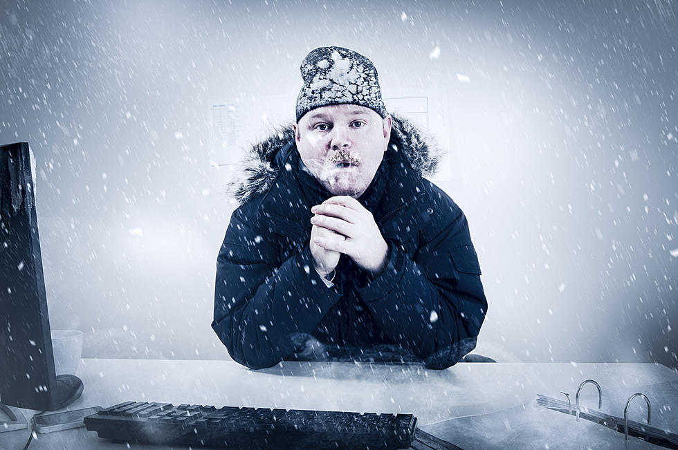
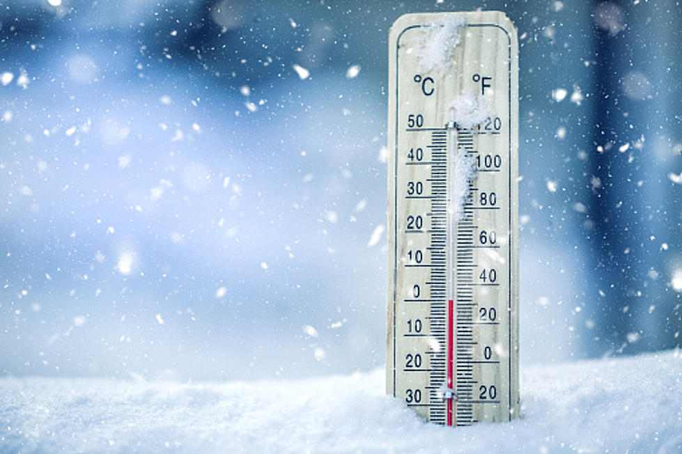
One thing's for certain, 2022 will start off with some of the coldest weather we've seen this year.
Check back to this post, Thursday evening and through the New Year, as we'll update this article with the latest information on how our weather situation will shape up for New Year's Eve and New Year's Day. Additionally, you can hear hourly forecasts from Weatherology on all of the radio stations of Townsquare Media Sedalia/Warrensburg all weekend long.
The latest Weatherology forecasts are also available here:
TIPS: Here's how you can prepare for power outages
LOOK: The most expensive weather and climate disasters in recent decades
Gallery Credit: KATELYN LEBOFF
More From AM 1050 KSIS