Winter Storm Watch in Effect for Sedalia
The National Weather Service has issued a Winter Storm Watch for central Missouri which includes the City of Sedalia.
The forecast predicts Sedalia as having the potential to receive 4 - 7 inches of snow accumulation beginning Saturday evening (March 2) and continuing through Sunday afternoon (March 3).
A press release from the City of Sedalia says once snow begins falling, travelers will need to be aware of heavy equipment operating throughout Sedalia, especially along Snow Emergency Routes.
The City says Emergency Snow Routes will be activated when snowfall reaches 2 inches.
In the event that emergency routes are activated, residents will need to move their vehicles to other locations as snow is expected to accumulate during the nighttime hours.
City crews will be working overnight Saturday to ensure that Emergency Snow Routes remain open. Cars remaining parked on the emergency routes may be towed or plowed in as crews work to keep the roadways open for emergency vehicles.
Motorists are encouraged to delay travel during early morning hours, if possible, until roadways have been plowed. The City is thanking everyone for the cooperation.
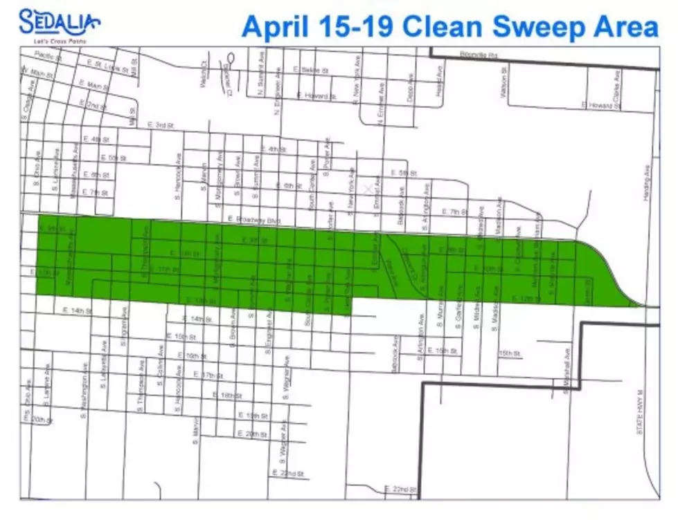
A map of Emergency Snow Routes is available on the City’s website.
More From AM 1050 KSIS


