
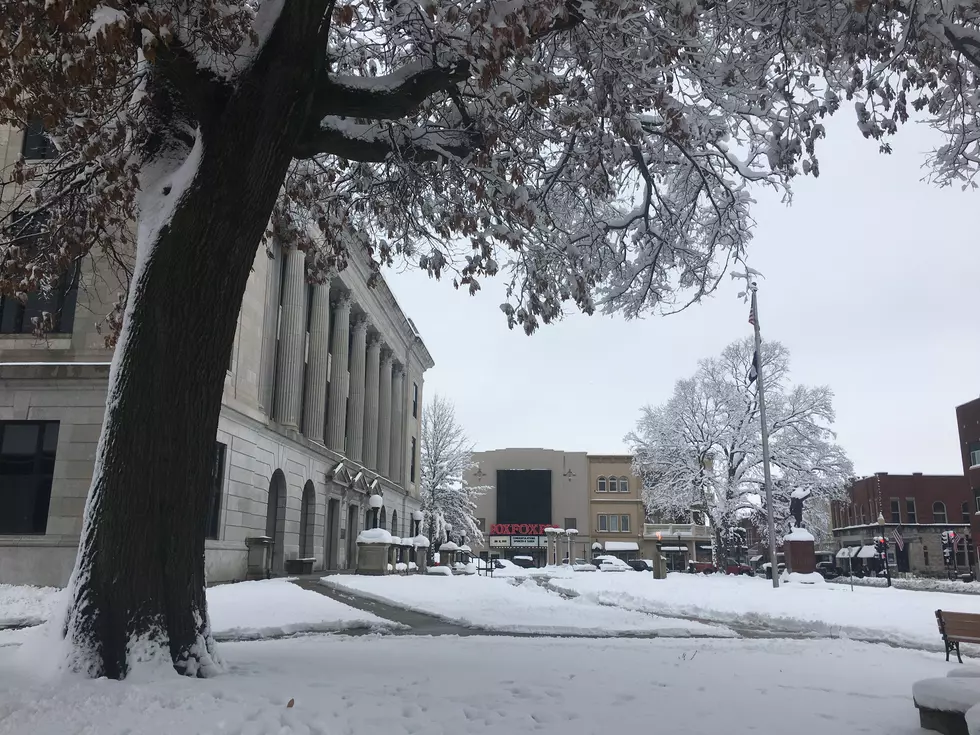
Winter Weather Expected Across Missouri This Weekend
More winter weather will be passing through much of Missouri this weekend.
"Winter storm warnings are just off to our north, and a winter weather advisory is in effect for our immediate area," said Weatherology meteorologist Laura Lockwood. "That goes into effect this evening at 6 p.m. and that will continue until 3 p.m. tomorrow afternoon. Areas of showers will be developing late, and then as cooler temperatures get entrained in the system we'll see that rain transition into snow. We're looking at that transition probably around 2 in the morning. We could see a dusting to an inch of snow. More snow on Saturday, looking at another dusting to an inch, so not a lot of accumulation, but it doesn't take much to grease up those roads, so you'll definitely want to use some caution out there."
The National Weather Service says northern Missouri and northeastern Kansas are expected to get the heaviest snowfall from this storm: "A developing storm system is expected to emerge out of the southern Rockies and track across northern Texas into Arkansas later today through early Saturday morning. Expect widespread snow across the region with heaviest snow accumulations over northern Missouri and far northeastern Kansas."
"Temperatures will continue to cool on Saturday to about 19. We're going to be dealing with some wind, as well, so wind chills will be a factor to contend with," said Lockwood. In the Sedalia area, wind gusts on Saturday are forecast as high as 31 mph. High winds are expected to continue through Saturday night. High temperatures will reach the mid-20s on Sunday. Highs will reach into the low 40s on Monday.
More From AM 1050 KSIS


