
Severe Weather Could Pop Up on Friday
The temperatures have dropped in the last couple of days and it looks like a big warming trend is not predicted at this time.
The National Weather Service is looking at a possibility of patchy frost late tonight and into Thursday morning, especially north of Highway 36.
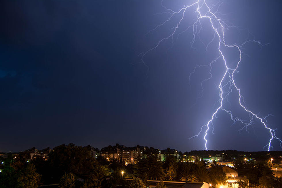
There is also a chance at some severe storms making its way through on Friday.
"Our next chance for severe weather is for Friday, April 24," said Sedalia/Pettis County EMA Director David Clippert. "Right now we are in a Slight Risk, which is a 15% chance of some type severe weather. I placed a red star on Pettis County and we border the Slight Risk (yellow) and the Marginal Risk (green). Marginal is about a 5% risk. So far, if we were to get severe weather it would happen somewhere between 6 PM Friday and into 6 AM Saturday."
Keep listening for Weathereye updates through the day and if severe weather comes our way, we'll keep you informed.
More From AM 1050 KSIS